“In this field of science, we deal with huge amounts of data”
Expanding horizons in Earth Observation
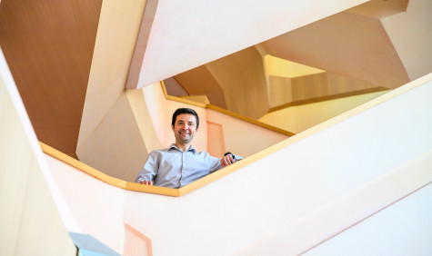
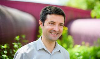
Serkan Girgin (43) was awarded the title SURF Research Support Champion 2022 in May of this year. He built a data analysis platform at the University of Twente that provides researchers easy access to compute resources and many open-source geographical analysis tools. “Compute resources should be a standard service at the university”, he argues.
As a teenager growing up in Turkey, Serkan Girgin was already into engineering and programming. He entered the national Olympics in Informatics in high school, and later won a Young Researcher of the Year award. “Which opened the door for me to work for the national space technologies research institute. With my brother I operated a satellite ground station.”
After obtaining a Phd on environmental engineering and risk assessment in 2008, he went to Italy to work for the European Commission for 8 years. “As an expat it’s sometimes hard to live without your friends and family. My wife at the time was hired by the University of Twente so that is why I looked for a position here. Things have changed over time, but I’m happy at the faculty. It’s a very international environment, and we work on solving global problems.”
Processing images from Greece to Nairobi
More than twenty colleagues submitted a nomination form for Girgin. Not only because he built a platform that allows researchers to analyse huge amounts of data that they were not able to process before. They also say he is a “kind, helpful and pleasant person to work with”.
Girgin joined the Faculty of Geo-Information Science and Earth Observation at the University of Twente two years ago to build a Center of Expertise in Big Geodata Science (CRIB). CRIB offers scientific and technical advice, as well as infrastructure for cloud computing and big data technologies. Staff and students use these for computing tasks with geospatial and Earth Observation data that do not fit on their laptop or workstation.
This kind of research includes processing satellite imagery for the entire country of Greece for multiple years. Mapping types of households in Nairobi slums. The distribution of species of reptiles in a specific country. Or monitoring drought, predicting crop yield and disease, or studying natural disasters.
“I started in the middle of lockdown, so for many months I worked completely virtually, getting to understand the needs of the researchers here. At this faculty, we deal with a lot of data and we are keen to apply state-of-the-art methods to solve problems. We also provide education and perform capacity development activities. But there was no common compute infrastructure to support and facilitate all these activities. So I built our own compute platform.”
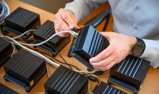
The Geospatial Computing Platform provides a user-friendly interface for data analysis and visualisation with hundreds of ready-to-use software packages. It is directly accessible by using a web browser and does not require registration or software installation. It features parallel, distributed, and GPU-enabled computing capabilities and data storage. Additionally, the platform offers shared workspaces that allow collaborative work and data sharing among multiple users.
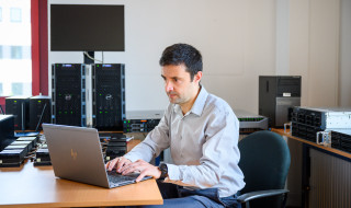
The platform now serves more than 750 users, including academic staff, students, alumni, and research partners. Girgin manages it and supports its users single-handedly. Besides that, as a senior researcher he performs active research on geospatial computing infrastructure and distributed spatial algorithms. “Yes, that is more than a full-time job, actually”, he says smiling.
Learn to move from desktop to cloud
Colleagues who nominated Girgin as Research Support Champion frequently mentioned how he helped expand their horizons. “Some researchers are experienced in cloud or high-performance computing, but there is also a large group who don’t know yet how to move from their desktop to the cloud. The only way to learn is to try it. We make it simple for them: the platform is available 24-7 and doesn’t need any set-up. Researchers don’t just need a technological solution, they also need support. And fast answers. Last year I have handled more than 400 support requests.”
Another way to make it easier for users is that CRIB doesn’t require proposals. “We don’t ask people what kind of research they use the system for. The norm is currently that to get access to compute resources you need to ask for funding. I think this needs to change. Email is a standard service that everybody at a university is provided with. The same should go for compute resources.”
The next step
The field of Earth Observation is in a transition phase, says Girgin. “The number of satellites and the resolution of images keeps growing. The amount of data is enormous, and often openly available, for example through the European Union Copernicus programme. Accessibility to data is not a problem anymore, at least for many applications. But to process this big data, you usually need machine learning or deep learning methods, which are very compute intensive. Therefore, it’s important to have access to stable and powerful compute resources.”
“And instead of downloading datasets, as is customary, we are now more often creating and using data cubes: you do the analysis where the data is. That is much more efficient. The next step that I envision is that the user can ask the platform to perform specific calculations in a unified way. Researchers should not have to use many tools and packages to perform simple analysis tasks or re-write standard algorithms again and again. Standard interfaces to use geospatial computing services, which are optimized for performance and power efficiency, can significantly facilitate their work. After all: they are only interested in the correct results.”
Text: Josje Spinhoven
Photos: Jelmer de Haas
SURF and earth observation
SURF provides compute and data services for the Dutch earth observation community. In order to bring research to a higher level, SURF wants to stimulate collaboration in this field. We participate in the European C-SCALE project, among other things. We also want our computing and data infrastructure and our knowledge to better match the requirements of the community, where possible.
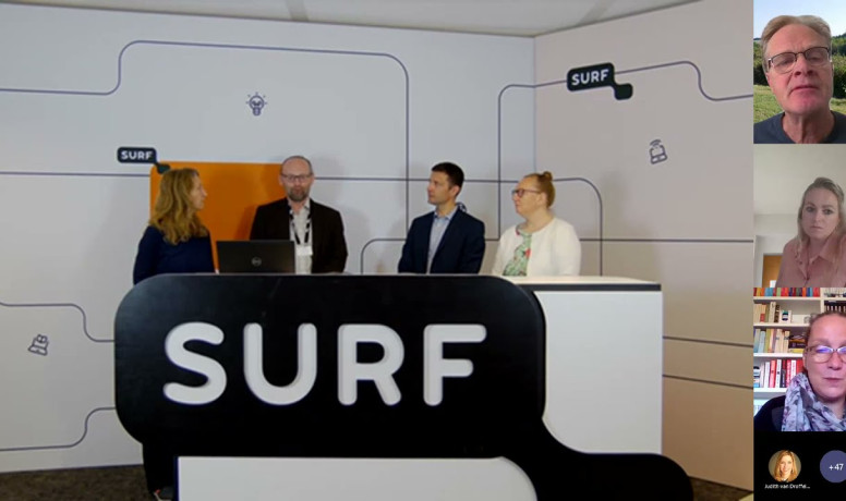
Video: Working together with SURF for Earth Observation
Video: Meet the Champions
